JMT Section Hike: Reds Meadow to Tuolumne Meadows
- Distance: 37 miles
- Elevation: +5438’ -5093'
- Map: Caltopo
- Trip Dates: June 29, 2024 - July 2, 2024
Maya (11.5) and I have just completed one of our most epic hikes to date. Over the course of 4 days, we covered 37 miles. Our journey began at Reds Meadow, near Mammoth Lakes, and concluded at Tuolumne Meadows in Yosemite National Park. During our adventure, we traversed a portion of the renowned John Muir Trail (JMT) heading northbound.
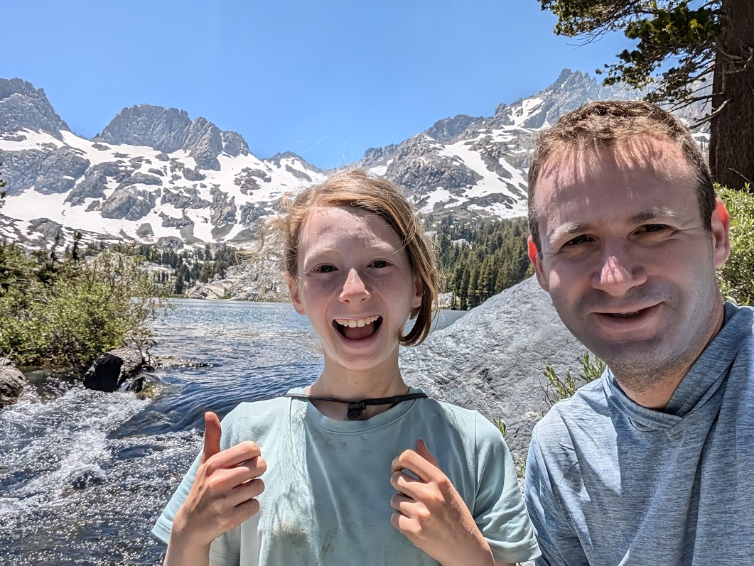
The trail is lined with lakes, streams and snowy mountains. One of the highlights of the trip was entering Yosemite Park via Donohue Pass, at an elevation of 11,066 feet. The route was one-way, so we left the car at the end point in Yosemite. We used Sierra Shuttle Service (Rob) who picked us up from Tuolumne Meadows and dropped us at the hotel in Mammoth. The next morning, we boarded a shuttle that picked us up from the hotel and took us to the starting point of the trip in Reds Meadow. It is important to remember to purchase shuttle tickets in advance.
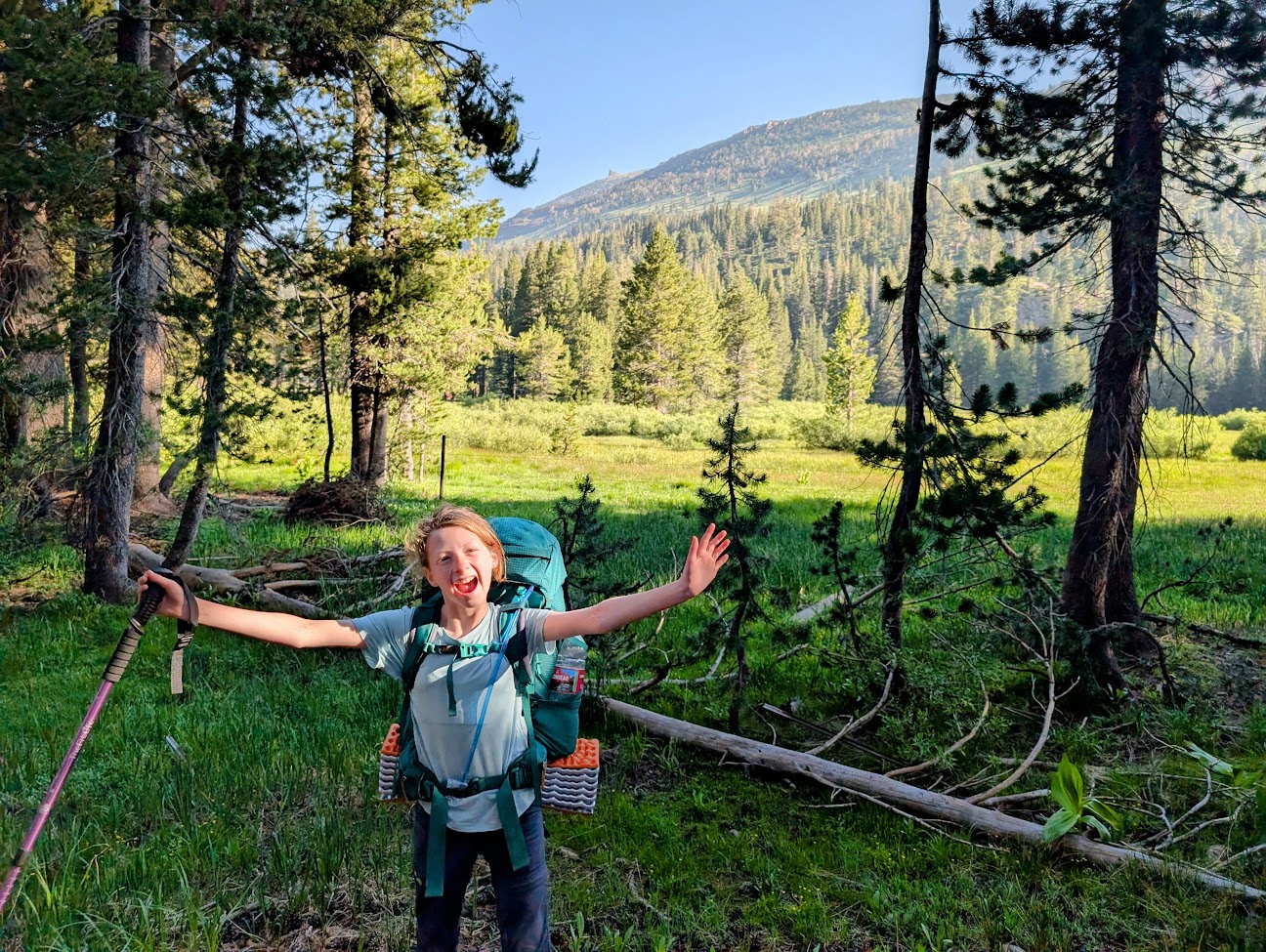
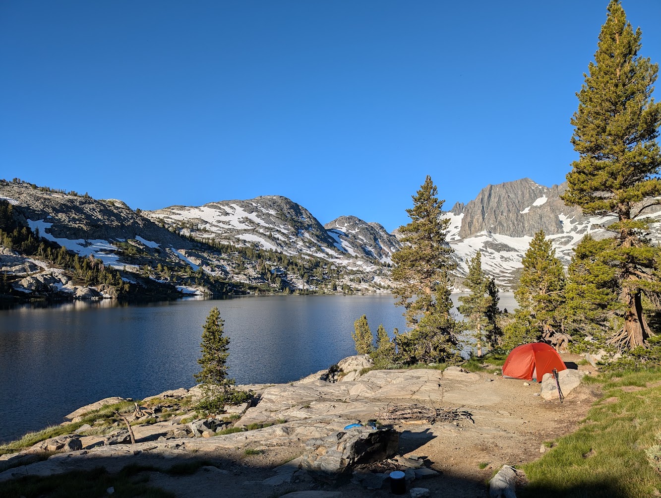
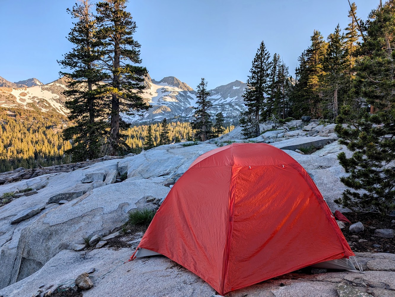
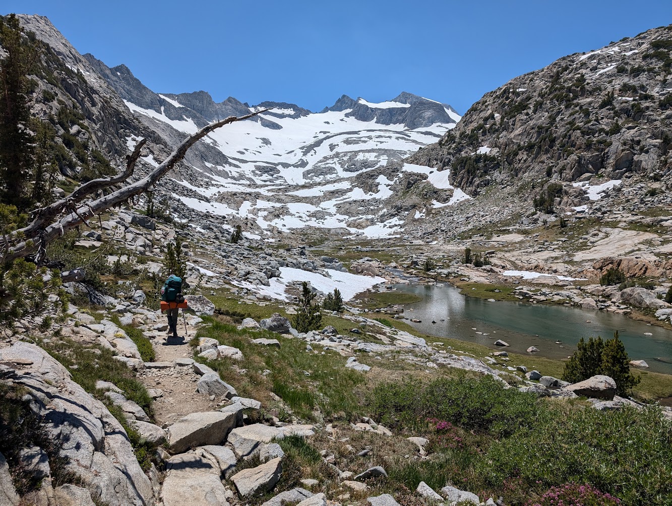
The route begins with a flat and pleasant walk of about three miles in a green meadow along a stream. From here, the route rises steeply until you reach the spectacular Shadow Lake. At the lake the route merges with the JMT. We continued on the path towards Lake Ediza, where we stopped for a lunch break. After a short rest, we tracked back towards the JMT and towards Garnet Lake. The views on the way down to the lake are breathtaking. We settled in for our first night on the north shore of Garnet Lake, surrounded by magnificent snowy mountains. Total walking on the first day: 12 miles with 2,570 feet of elevation gain.
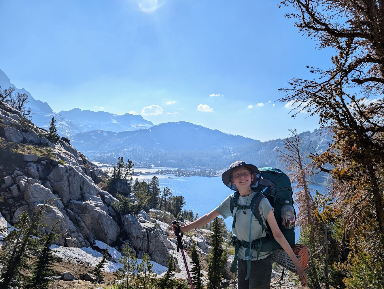
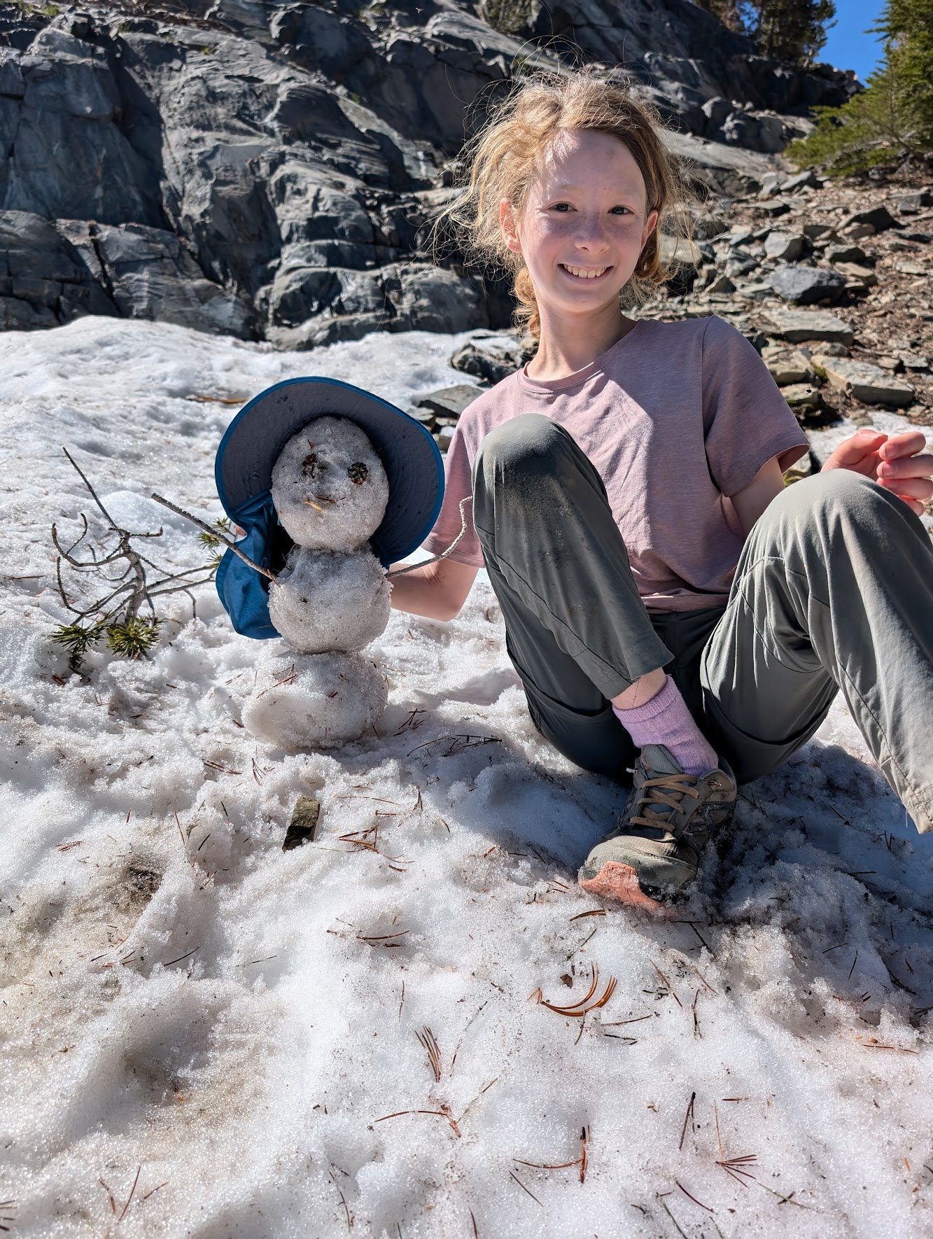
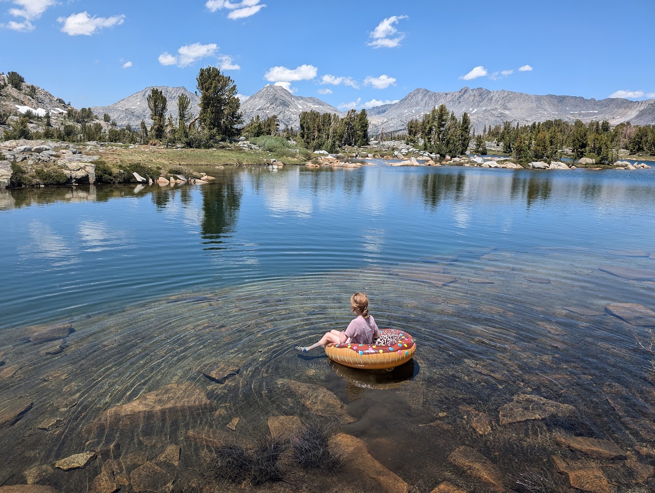
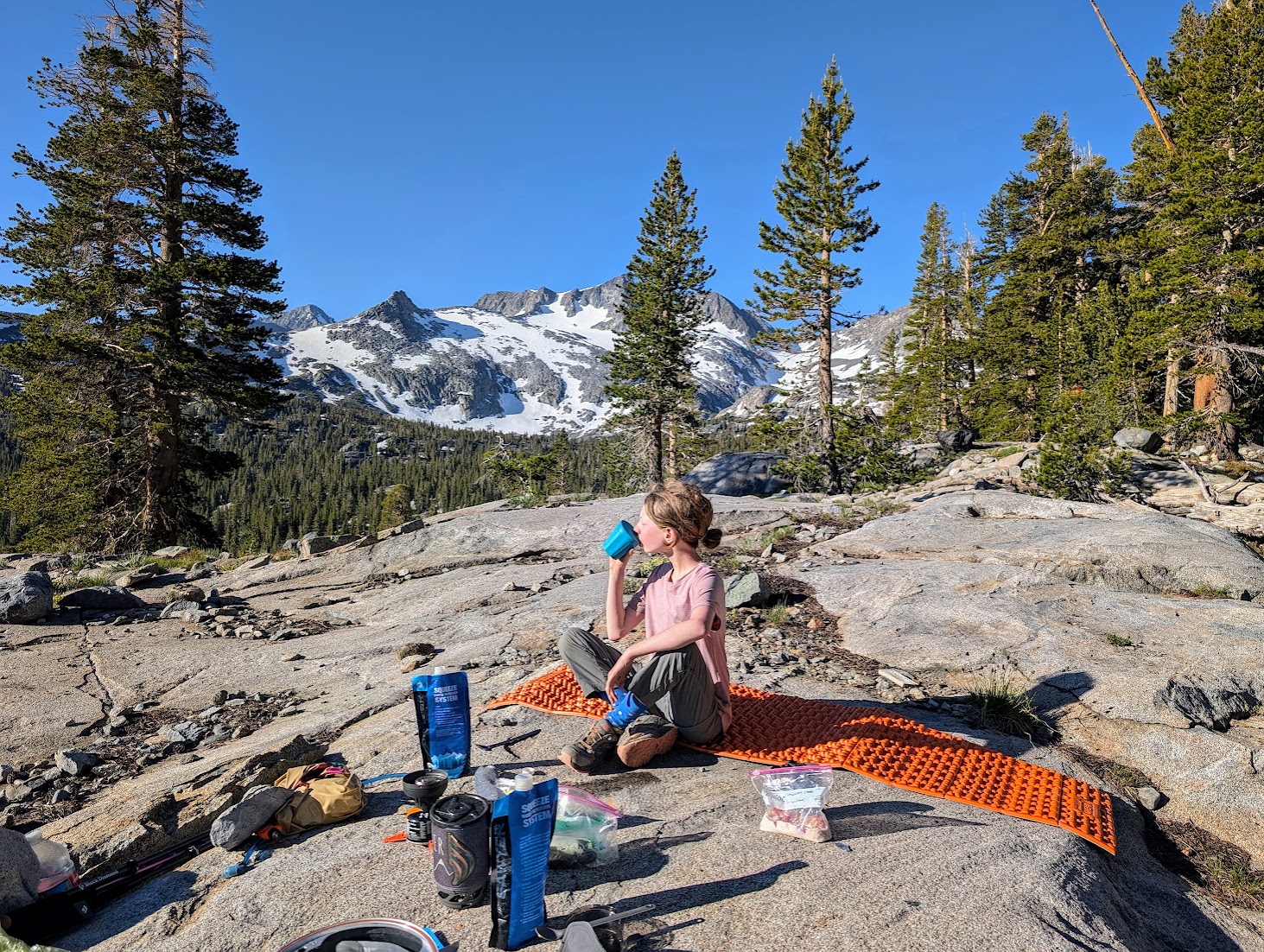
The next day, we planned a lighter day with extended stops by the lakes. We brought an inflatable float and used it twice - once at Thousand Islands Lake and a second time at another unnamed lake. We also stopped next to patches of snow that had not yet melted and Maya made cute little mini snowmen. We set up camp for the second night at the beginning of the ascent to the Donohue Mountain Pass on a cliff from which there was an amazing view of a forested valley and snow-capped mountains, with the rushing Rush Creek flowing next to it. Total walking on the second day: 8 miles with a cumulative ascent of 1500 feet.

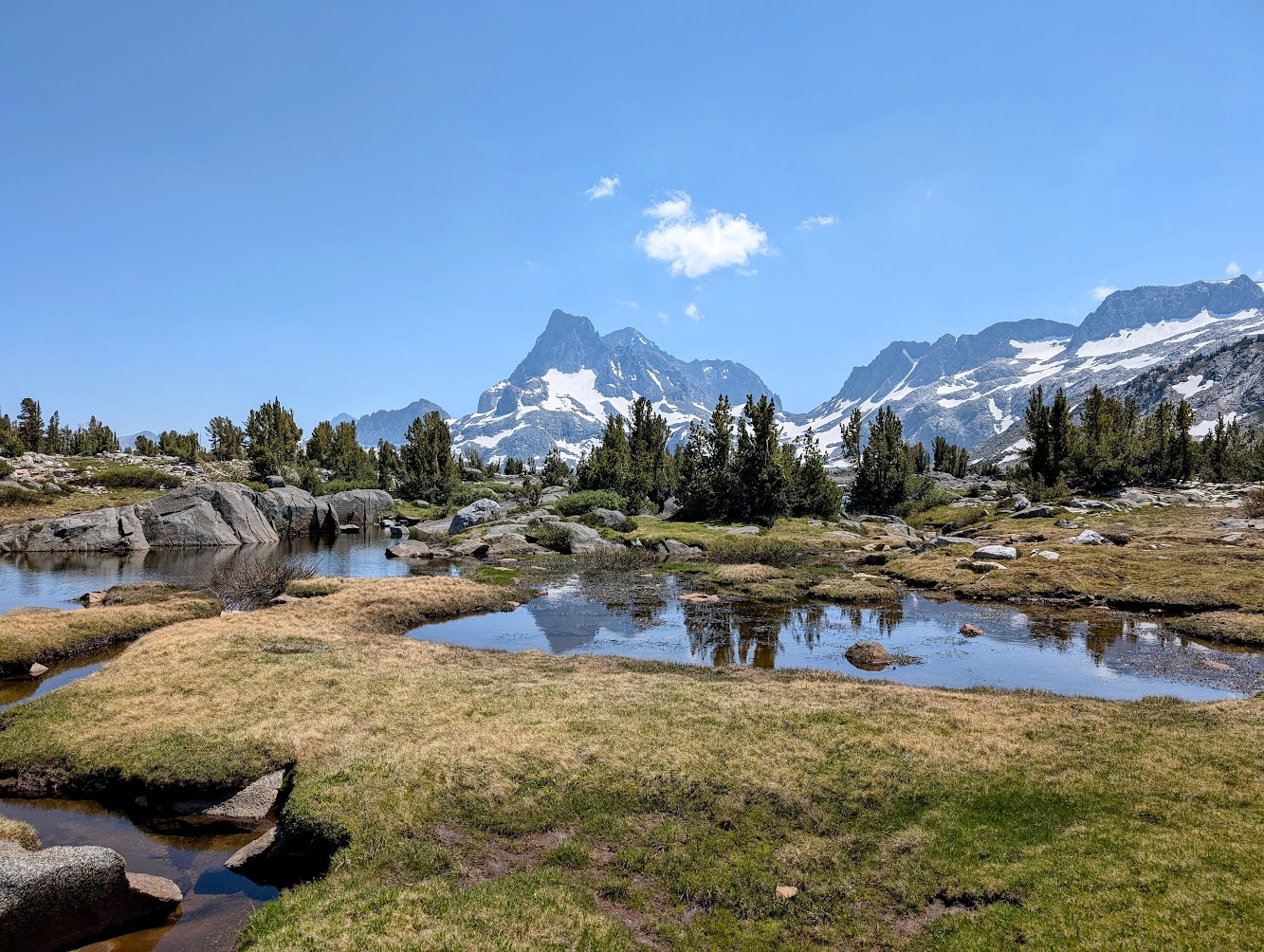
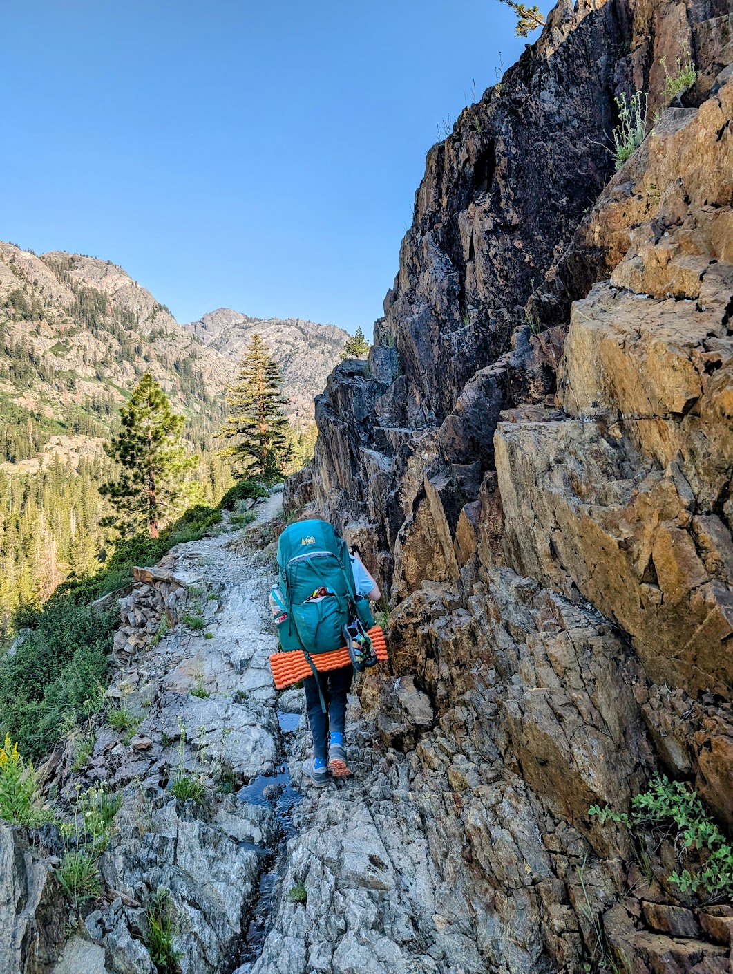
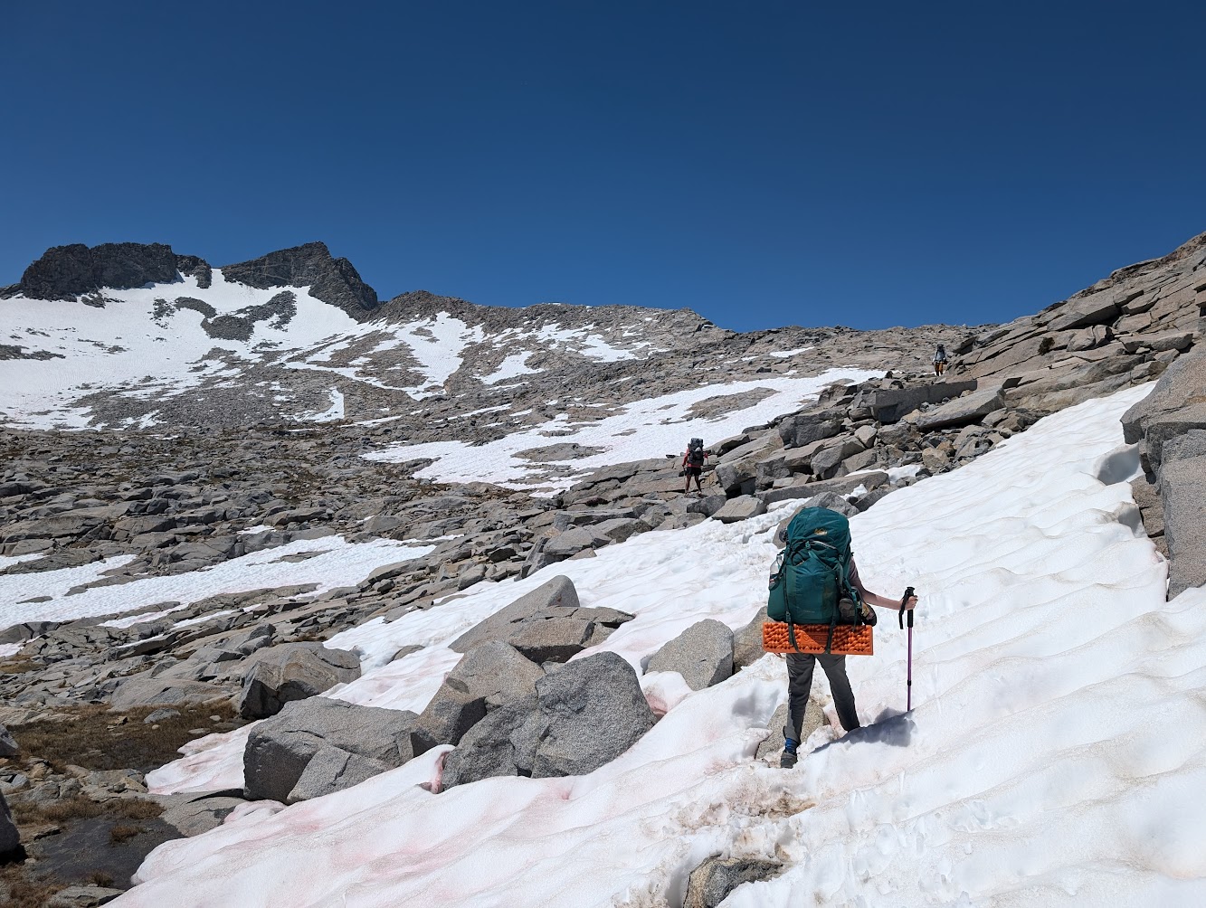
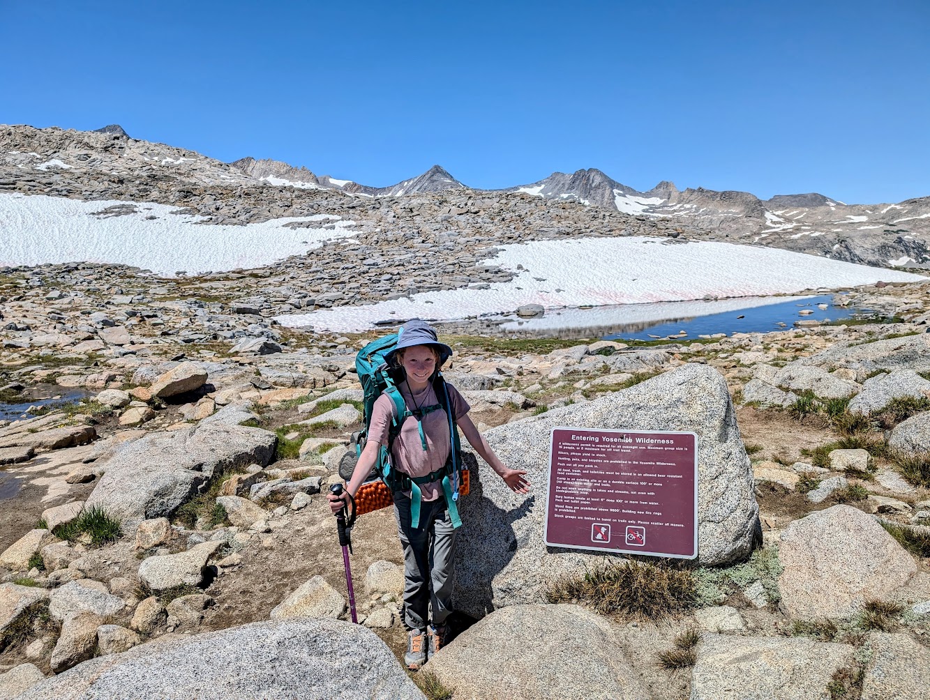
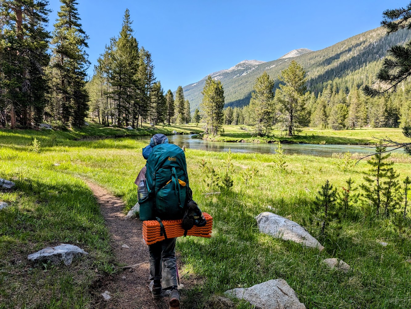
On the morning of the third day, after a satisfying breakfast that of course included hot chocolate and coffee, we started the climb to Donohue Pass. While walking, the landscape changes face, the forest gradually disappears until there are no trees at all, only grass, low vegetation and water flowing from all sides. After that, the route becomes rocky and sometimes covered in deep snow, but it can be crossed quite easily without the need for special equipment. At the top is the entrance sign to the Yosemite Wilderness. From there, the trail descends steeply (2,500 feet) into Lyell Canyon, a wide, flat valley with a beautiful stream running through it. After a few miles of walking through the canyon we stopped for the third and final night. Total hike on Day 3: 10.6 miles with a cumulative ascent of 1,542 feet.
The fourth day was relatively short. The route continued to descend gently along the canyon, with the stream winding through the valley and flowing slowly. Along the way there are points where you can enter the stream and even natural “water slides” on smooth stones. In total, on the fourth day we walked 6.5 miles with a minor ascent of 260 feet.
The entire route was scenic and full of magnificent views throughout. In my opinion, this is one of the most beautiful trips we have done. Highly recommended!